Understand identification
How location and season help identify animals
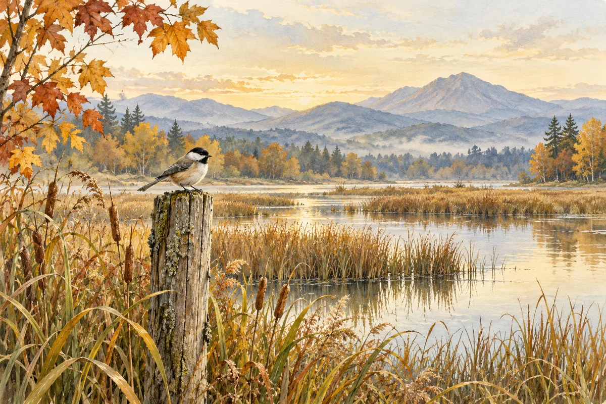
A bird in a coastal marsh in winter suggests a different set of possibilities from a bird in an inland forest in summer. But context is a guide to what to check, not a substitute for seeing the animal. Range maps and seasonal guides describe patterns, and real observations can fall outside familiar patterns. Use location and season to focus a search, then return to the visible evidence.
Quick answer
Where and when you saw an animal can help filter possibilities, but neither detail proves a species. Keep the date and place as accurate as you know them, compare them with visible features and reliable local references, and protect sensitive locations. Animal Says Hi has no dedicated date or location fields; keep these notes separately or add relevant free text yourself.
Record what you know, not what you assume
In a private field notebook, write the date you observed the animal and a broad place such as a park, region, or habitat. If you do not know the exact day or location, say “early spring” or “near the river” rather than creating false precision. Separate what you remember from what you infer from a photograph’s background or a phone’s metadata.
For observations contributed to a nature community, follow that service’s guidance on date, location, and privacy. iNaturalist treats them as observation data and provides options for location privacy. Sensitive species, nests, dens, and private property can call for extra care. Do not expose exact coordinates publicly just because they might help identification.
Sources: iNaturalist — Frequently Used Responses · iNaturalist Help — How can I get help identifying what I saw or heard?
Use context to build a shortlist
Once you have a broad group, look at reliable references for the area and season. A regional field guide or government wildlife page can help you find species that are known from that region and time of year. Use the list to decide what features to compare next, not as a menu where the most common name automatically wins.
For a bird, Cornell Lab’s four-key method places habitat and behavior beside size, shape, and color pattern. Location and season can help you choose which field marks to inspect, but the bird’s body still has to fit. For other taxa, use sources designed for that taxonomic group; a bird migration page is not a method for identifying a moth.
Sources: Cornell Lab of Ornithology, All About Birds — Building Skills: The 4 Keys to Bird Identification · iNaturalist Help — What is an Identification?
Treat maps as incomplete context
A range map can help you decide which candidates to investigate, but it cannot show that the animal in your photograph has a diagnostic feature. Before using a map, check its publisher and the region, date, and coverage it states. Compare what the map actually covers with the visible evidence; do not treat a match to a mapped range as proof of identity.
If a candidate seems unexpected, consult a suitable regional reference and recheck the features you can see. Animals can appear outside the pattern shown by a particular map, and a photograph may not establish where it was taken. Keep the map as one context clue and let the visible evidence set the limit of your identification.
Sources: iNaturalist Help — Computer Vision FAQs · iNaturalist Help — What is an Identification?
Protect privacy while adding useful context
The level of detail needed depends on the purpose. A broad region may be enough to compare common candidates; exact coordinates can put vulnerable wildlife or a private residence at risk. Follow the platform’s privacy controls and local conservation advice. When sharing an observation publicly, consider whether a sensitive location should be obscured or withheld.
Animal Says Hi accepts one photo and optional free-text context, with no dedicated date or location fields. Keep date and place in a separate field notebook if they will help your own research; if you add context in the text box, include only what is relevant and appropriate to share.
Sources: iNaturalist — Frequently Used Responses · iNaturalist Help — How can I get help identifying what I saw or heard? · Animal Says Hi Help — Using photo analysis and understanding results
Let evidence overrule convenience
Suppose a common species is expected in your region, but the photo shows a shape or marking that does not fit its reliable description. Do not force the common label because the map makes it convenient. Recheck the feature, look for another plausible group, and consider whether the view is too poor to decide. A broad identification is better than a precise answer built on a guessed place.
Likewise, a rare or out-of-range candidate should not be rejected solely because it is rare. Verify with a knowledgeable local naturalist, museum, wildlife agency, or suitable community when accuracy matters. AI suggestions can be useful prompts, but iNaturalist advises not to rely solely on computer-vision suggestions. Animal Says Hi is not a live range-checking or location-aware service.
Sources: iNaturalist Help — What is an Identification? · iNaturalist Help — Computer Vision FAQs · Animal Says Hi Help — Using photo analysis and understanding results
Context without overclaiming
| Context note | Useful question | Boundary |
|---|---|---|
| Date or season | Which species are present at this time? | Use what you know; do not invent a date. |
| Broad location | Which regional guide is relevant? | Range maps are summaries, not proof. |
| Habitat | Does the setting fit the candidate? | Image background may be ambiguous. |
| Privacy | Could precise coordinates expose a sensitive animal or place? | Use local and platform privacy guidance. |
| Product input | Can this information be supplied to the app? | No structured date/location fields; one photo plus optional free text. |
- Context note
- Date or season
- Useful question
- Which species are present at this time?
- Boundary
- Use what you know; do not invent a date.
- Context note
- Broad location
- Useful question
- Which regional guide is relevant?
- Boundary
- Range maps are summaries, not proof.
- Context note
- Habitat
- Useful question
- Does the setting fit the candidate?
- Boundary
- Image background may be ambiguous.
- Context note
- Privacy
- Useful question
- Could precise coordinates expose a sensitive animal or place?
- Boundary
- Use local and platform privacy guidance.
- Context note
- Product input
- Useful question
- Can this information be supplied to the app?
- Boundary
- No structured date/location fields; one photo plus optional free text.
Takeaways
- Keep approximate date and place separate from guesses drawn from the image.
- Use local and seasonal references to narrow what to compare, not to decide the species alone.
- Protect sensitive locations and remember the product does not collect structured context fields.
Sources and further reading
Sources checked 17 Oct 2026.
- Cornell Lab of Ornithology, All About Birds — Building Skills: The 4 Keys to Bird Identification
- iNaturalist Help — What is an Identification?
- iNaturalist — Frequently Used Responses
- iNaturalist Help — How can I get help identifying what I saw or heard?
- iNaturalist Help — Computer Vision FAQs
- Animal Says Hi Help — Using photo analysis and understanding results
Have a photo of your own?
Choose a photo on Home and select Analyze — your photo is sent only when you ask for the analysis.
Discover an animal